EXCAVATION DONE!
I've said it before...I'll say it again. When we embarked on this journey, all we were looking for was a nice 3 or 4 acre hole with water that we could build a little cabin next to. Just look at what you guys did...shame on you! As my freight train was running outta control, my PB comrades continued to load the coal. I'm thinkin' about re-naming the Liberty Nature Preserve as the Silver Streak Ranch. The happy ending, albeit with empty pockets, is that when we got off at the station and looked back, the train we crafted during this ride has exceeded my wildest hopes, visions and dreams. Dining car, Club Car, Vista car, the works. It is, indeed, an awesome spectacle in my little world. I am very good with vision; X-ray spec's could not have prepared me for these results.
-
-
These pic's are very similar to previous, only now they are complete in detail. To start, it might be easier to understand with another look at the aerial plan.

The dotted line is the driveway constructed last Summer. The light green lines are now completed as roadways and become dotted lines, also. The building site is about 1/2 Ac. The knoll is 1/4 Ac; the sand beach is the brown square within.
-
-
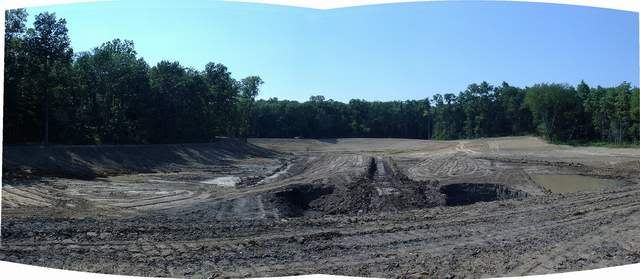
This pic is from the building pad, looking to the dam. My sedan is parked on top of the dam 700 feet away. The completed 3600 sq ft sand beach is visible to the right, tucked up on a knoll that is notched into the woods. To the far right of frame the shallower wetland zone begins. The trenches, ditches, holes, and mounds are more visually prominent due to angle of the sun. Norm's ditch and Sunil's mound are visible, right of frame, between the beach and the water pocket. The wide, flat hump shooting directly away at center is 7 - 8 feet deep at normal pool. The balance of most of the deeper areas is around 12' with the 2 monster holes up front at around 19'-21'. The cuts, ditches, mounds, etc vary between 12' and 7'.
-
-
It's kinda funny when I look back and consider something Bob Lusk told me when I first hit this forum last Fall.
Most earthmovers take pride in ponds which look like Jessica Simpson's skin...smooth. Smooth, to a fish, is like the Sahara desert.
Now I understand. As cooperative, knowledgeable, honest, and a team player that my dirt-guy was, John had difficulty with boogerin' up the bottom. It didn't sit right. Seeing the exquisite quality of his final product helps me to understand. All the stuff above the bottom is his work. All the stuff at the bottom is the result of me winning at arm-wrestling.
(a look from the road as we near the the knoll; the same road runs across the dam at right, behind a point of Walnut and Cherry trees at the opposite side, and continues off to the left back to the launch and building site)
-
-
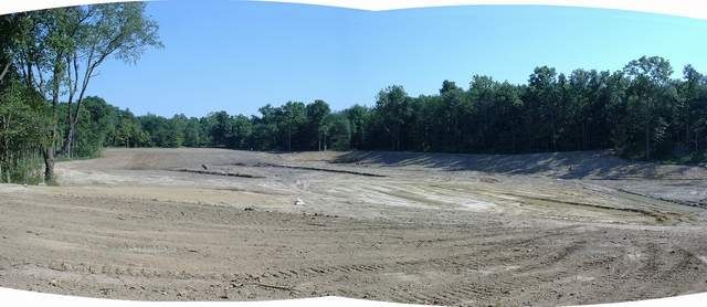
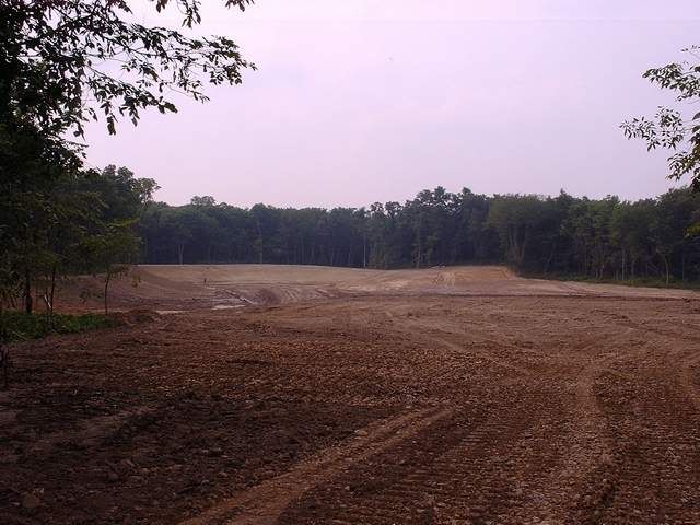
...another simlar view; the estimate of soil moved in this entire area is 20K yds.
-
-
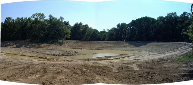
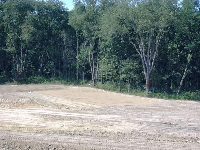
This shot is taken from the knoll, looking across the beach and toward the building site in the distance.
-
-
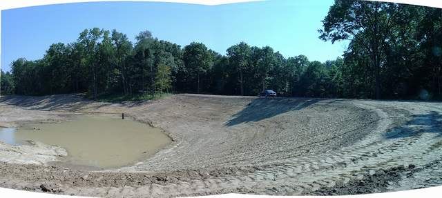
...a telephoto shot from the perimeter road, looking across to the knoll and the beach area.
-
-
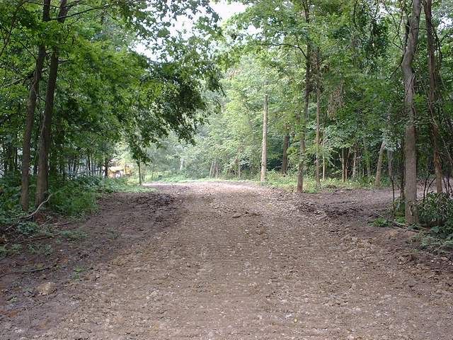
and, finally, a set of pics as we negotiate the last couple hundred feet of driveway on the way to the building site. The 2000 ft drive begins as 600 ft of meadow, then immersed into a wall of dense timber for the last 1400 ft. There is no clue or inkling what may be back there. (taken on an overcast day...sorry)
-
-
...but, no rest for the wicked. The water clock is now ticking as I prepare to pour a concrete boat launch and the required piers to support 2 docks. Oh yeah, and a bunch of fish structure has to be placed.


