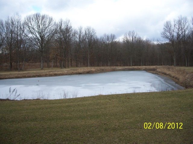
Here's some pictures of the pond in question. IIRC, the pond is 250ish feet long from North to South, and the Southern edge of the pond is 160ish feet long (or wide). The pond tapers to about 60-70 feet wide at the Northern side of the pond, sort of a right triangle with the top chopped off and the corners rounded with the base of the triangle to the South.
If you see an orange surveyors flag in one of the pictures, that marked the high water line from 2011. When the pond was constructed, the majority of the dirt from the pond basin was spread out around the pond, creating an 18" to 24" tall grass covered berm around the pond, which is to prevent any surface water from running into the pond, and carrying GSF into the pond. In a wet Spring, the woods around the pond to the NE, E, S and SW will be flooded. From the top of the grassy berm to the water level now is approximately 4', and it's approximately 75' to 100' from the pond basin to the edge of the woods all around the pond. The woods is a mixture of Maple and Red Oak. The deepest area of the pond is the South edge to the Southeastern corner. The northern part of the pond is approximately 0'-4' deep, and continues at that depth over half of the length of the pond as you move Southward on the pond.
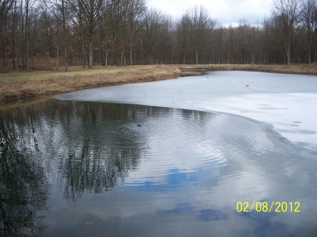
Looking from South to North along the Eastern edge of the pond
Looking from South to North along the Western edge of the pond
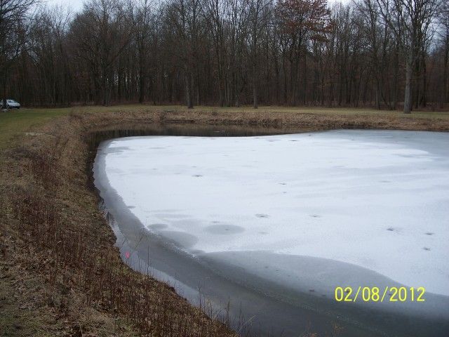
Looking from East to West along the Southern edge of the pond.
The winter diffuser is at the far SouthWest corner of the pond.
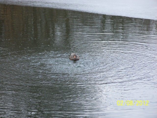
Winter diffuser in action. If I remember correctly, the wind speed was variable that day, 0-10 mph.