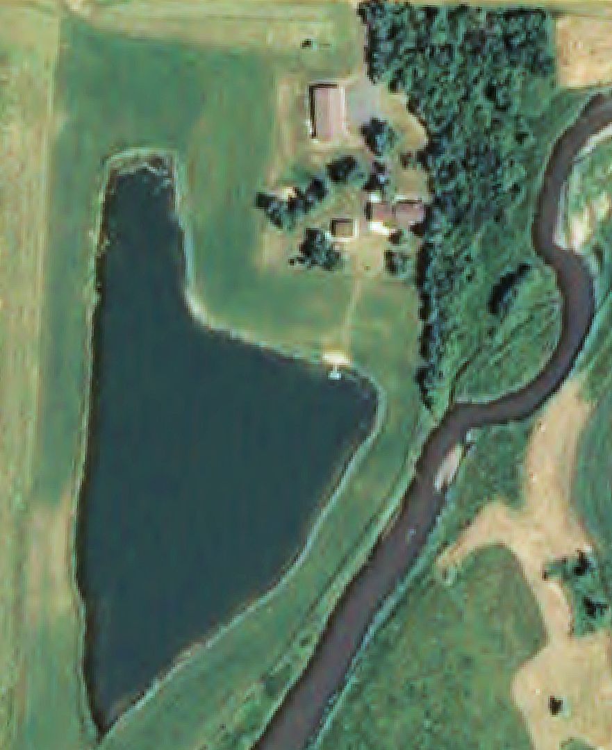
I received this photo of our pond from the County GIS guy. It is from 2009 when it was pretty dry and the pond was low.
We have discussed ground water movement and the influence of the Rock River on the pond in this thread and others. This photo shows the close physical relationship between the pond and the river on the east side (right side of photo).
The river flow and ground water flow are both in a southerly direction (bottom of photo is south).
If you look really closely at the northeast bay you can see me fishing off the the barge.