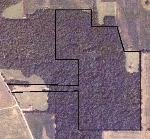
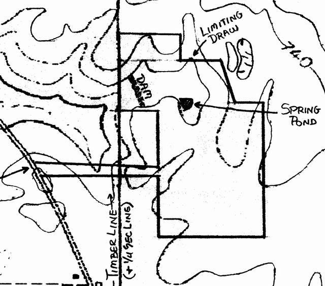
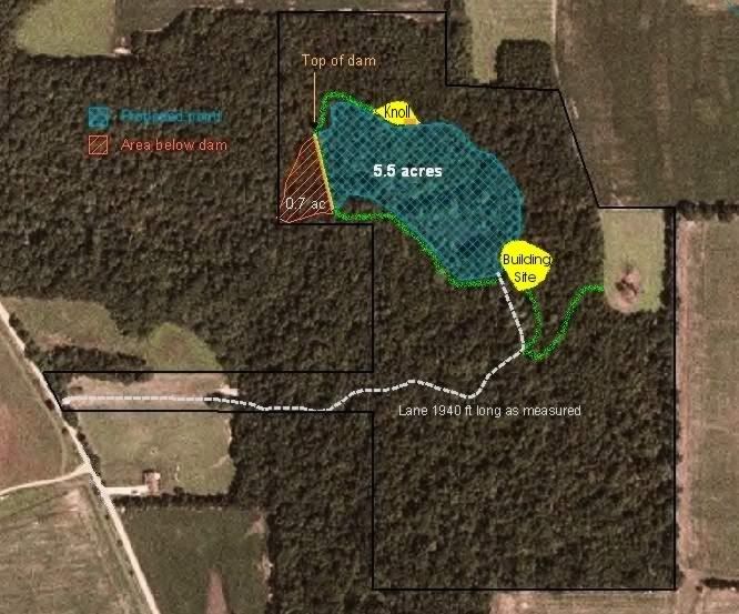
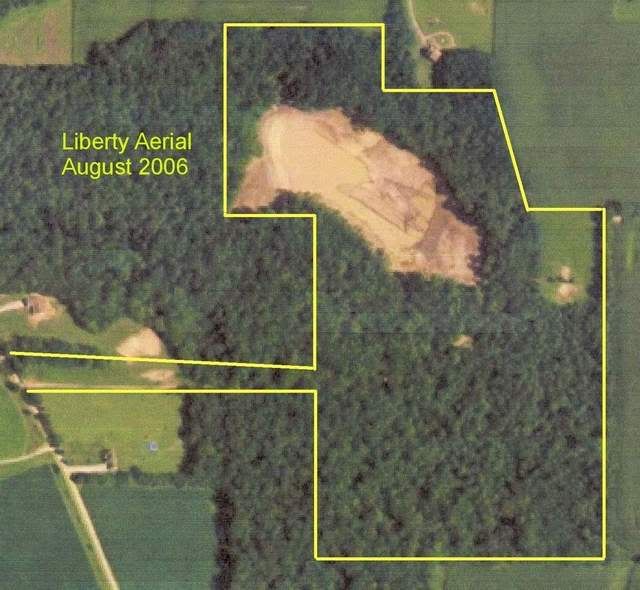
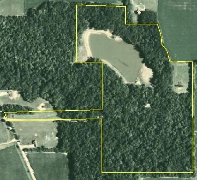
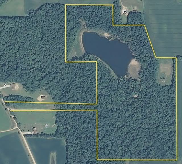
...not to beat a dead horse My NRCS guy just sent me an email with some very cool shots. He has the 2008 strip maps and cropped out our LNP project. 2008 is a significant year for our pond project as it was the first year we sent water thru the overflow pipe. I borrowed a set of growth aerial pics from earlier in this thread, adding the new aerial at the end. - - 2004, raw property - - Topo map - - original pondsite projection by NRCS - - Just starting to collect water - - Summer 2007 - - The new aerial; summer 2008