The mapquest map isnt the updated one.
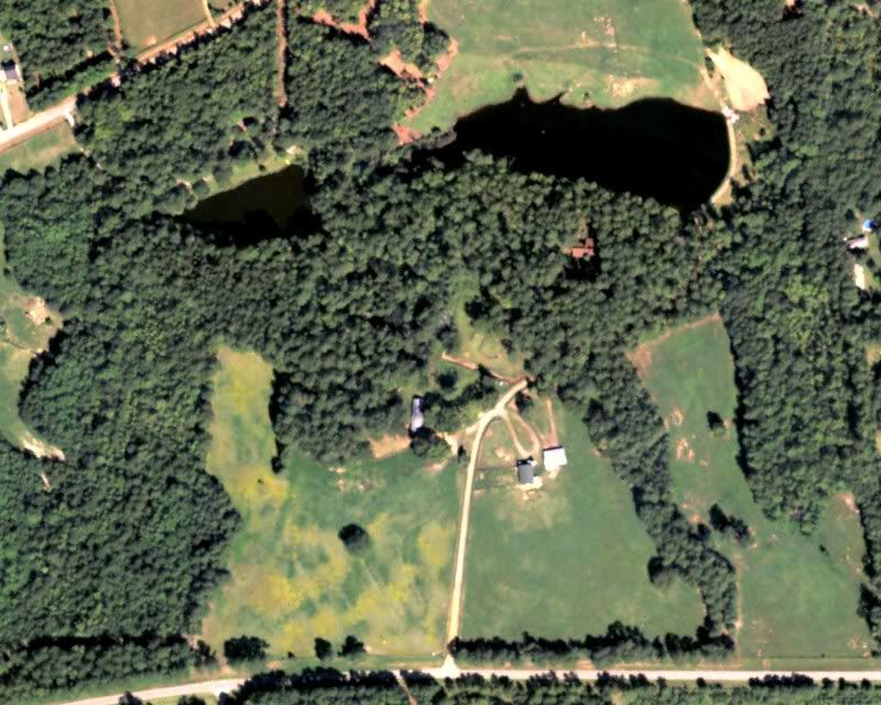
Kelly that pic you have up there would work ok. So how do I go about getting a bigger print of it made?
You could bring it to someone with a color plotter to get a wall size. They could crisp it up a bit with filters and such, but it will still be the same resolution or so as the original.
Microsoft, which is now Bing, updated our satellite photos around March of last year. Pretty crummy, as it turns out. Only trees I can see are pines, the rest (oak) only throw shadows.
Damn near looks like a wasteland!