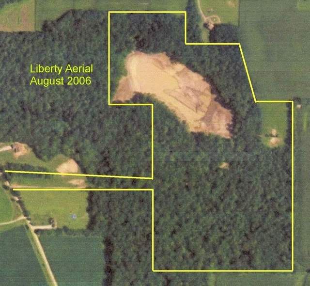
I just got a copy of last year's strip map aerial from my NRCS office. Based on the stage of development, it's from August '06.
I thought it might be interesting to take a look at a series of aerial maps and photos to demonstrate my vision as it came into focus over 18 months of raw land development.
-
-
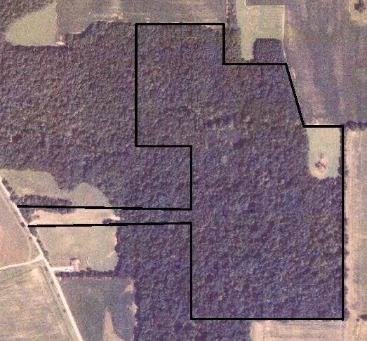
The parcel, the way we found it, aerial taken in 2004.
-
-
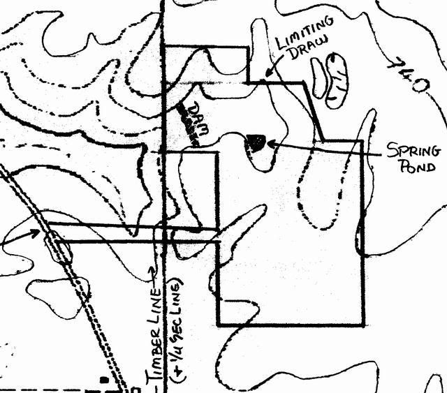
The topo map, notes entered weeks after purchasing the parcel as I dreamed (the
spring pond , as it was touted by the selling realtor, wound up being nothing more than a depression that collected about 2 ft of water in a bowl about 100 ft across)
-
-
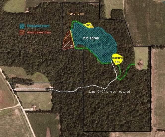
After clearing about 90% of the timber for the pondsite, my NRCS guy took GPS readings around the clearing that was to define the pond basin, the dam, and the area behind the dam. The building site was not yet cleared at the S.E. end. He also picked up the coordinates for the new driveway. He transferred these to the older strip map in pic #1. I added the proposed clearing for the building site and beach/knoll (yellow zones). I also added the perimeter pond road and the access roads to the building site and meadow (lite green).
-
-
All the above excavation and raw development plans have been executed. The pond is already collecting water.