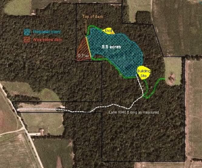
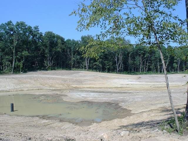
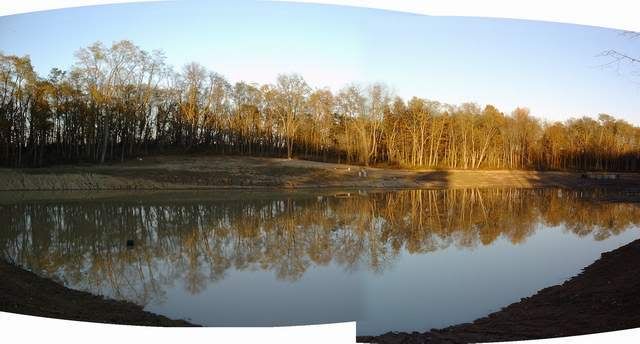
Seeing as my PB support crew has been there with me every step of the way, this would be no time to cut ya loose. I'm gonna use this thread to share the growth of our Liberty Nature Preserve pond project as each rainfall brings a little more depth. I will also incorporate it into my anthology thread, Chasing A Dream. - I'll begin by posting an aerial view of LNP for reference. It includes GPS mapped overlays of improvements (the dotted line is the entry driveway; the lite green lines are proposed roads that have now been completed; the little brown box within the knoll is the sand beach). This mapping work was performed by our county NRCS agent. He has been very helpful and will continue as we pursue government funded programs for vegetation development Spring '07. Anyway, the pondsite permimeter was mapped Fall of 2005 based on walking the treeline that delineates the edge of the proposed normal pool level. This treeline was where we stopped during clearing the entire pondsite of fairly thick timber. Subsequent excavation to create the building site pad and it's blunt, man-made peninsula, the south perimeter road, and the northwest road across a draw has taken away some of the acreage (the lite green line in the NW corner is the road that ultimately swept from the dam, across that little cove, and terminated at the knoll. We filled in the isolated cove and drained it under the new road). Some acreage will be gained because he did not map up into the dense thicket at a substantial section that will flood up into the timber adjacent to a shallower wetlands we planned. Bottom line: I'm guessing the final product will likely come in at about 4.5 - 5 acres. - 7/25/06, taken from the south end of the dam, looking across to the knoll and the sand beach (the drain filter jacket in the basin at the base of the dam is 6 - 7 feet tall) - - 10/29/06 taken from the same south end of the dam (about 6" of the drain filter remains exposed above water)