Da dam, she be done.
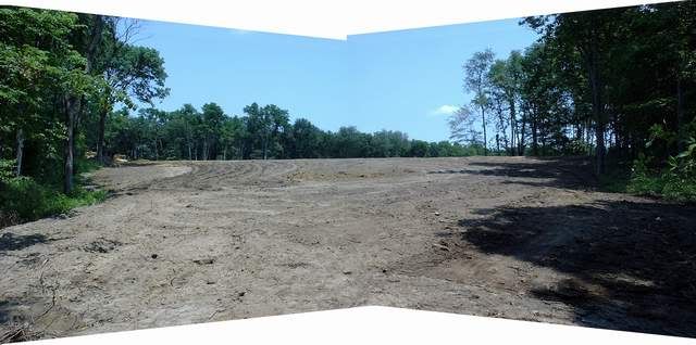
The entire pondsite was an ideal topo. The dam stretches between 2 hills that create a valley. We decided to clear the valley behind the dam, also, to provide more space to waste soil. This turned out to be a .7 ac zone. The bonus is an easily managed area with a nice, gentle 12:1 slope. This shot is from the back end of this zone, looking upward to the dam stretching left and right:
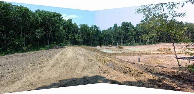
This next shot is standing on top of the finished dam grade (like you needed me to tell you that :rolleyes: ). I spec'd a 20' wide roadbed. This vantage point provides good reference for the grade of the zone behind the dam:
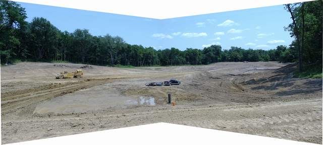
...and, finally, a shot looking from atop the dam, near center. The drain filter (vertical, black pipe) is visible some 20 ft below. The high site to the left is .22 ac where the sand beach and small pier will reside. Upper right, in the distance and around the point, a PU truck is parked on the proposed building site about 700 ft away.
Now, onto re-grading the draw that is directly adjacent to the end of the dam, installing a culvert and roadbed connecting the dam and the beach area. Then, back to the building site to pile up some more soil extracted from within the pond basin in front of it.


