Here is a picture of my property. The black line is the border of the watershed.
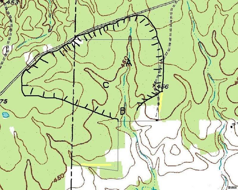
To figure out the size of your watershed place points on the ends of where a dam would be. Then place other points around the area uphill. On a topo map the bottom of the V's will point uphill. Look above point A on my picture to get an idea of what the V's look like.







