To answer a few of the questions, the map site is from before construction of the ponds. I looked at Google Earth and found the initial outline of the ponds before they were filled with water from a few years ago. I'll check to see if the builder has any info on the ponds. From what I remember they have a sloped surface for the first 8 feet so kids don't drown and then a depth of 10ft. I'll try to verify. Is this deep enough?
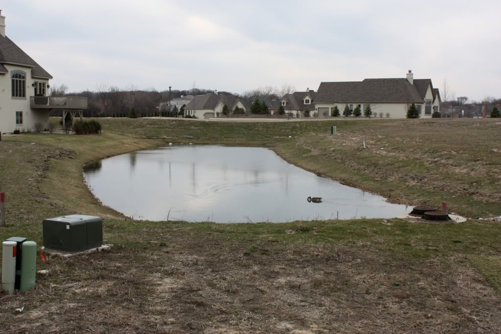
As for the picture of the rocks, If you look at the overall map, you'll see a smaller lake to the left which is at a higher elevation. The map shows a "trail" of rocks connecting the 2. It has some kind of drain in the right hand corner as pictured below. I think this pipe runs under the surface, covered by rocks probably for overflow into our pond. The strip you saw in the picture is actually a concrete pipe extending probably 10 feet from shore. You can see this in the panoramic pictures of the pond. Man, this forum is fantastic.