Pond Boss
Posted By: Bajackson16 New site, east texas wooded creek bottom - 07/11/18 12:49 AM
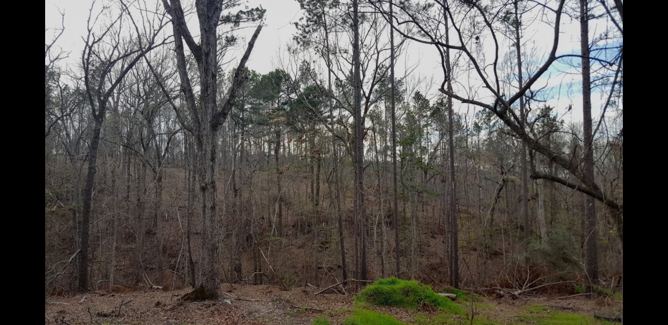
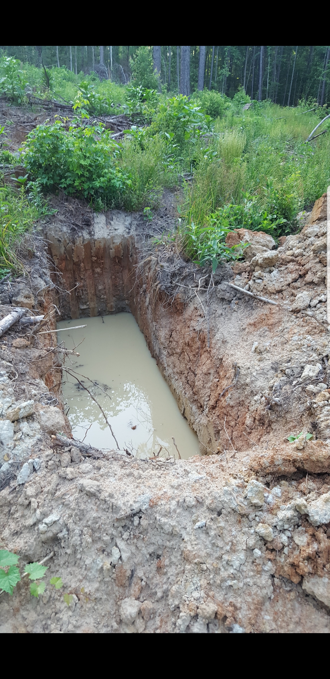
I have a site in east texas that may take several years before I'm able to complete it. I've posted lots of pics. I recently had 8 acres clean up where homesite will be and th top of the hill was very sandy in places. When we destumped stumps,there was select fill only in some areas. The operator then went down near the creek and did this dig test that is in photo. He said it was good gummy gray clay and thought it would make a great dam. Just curious what yalls thoughts are, and what the clay looks like from pics, and the overall thoughts on process and site loction?

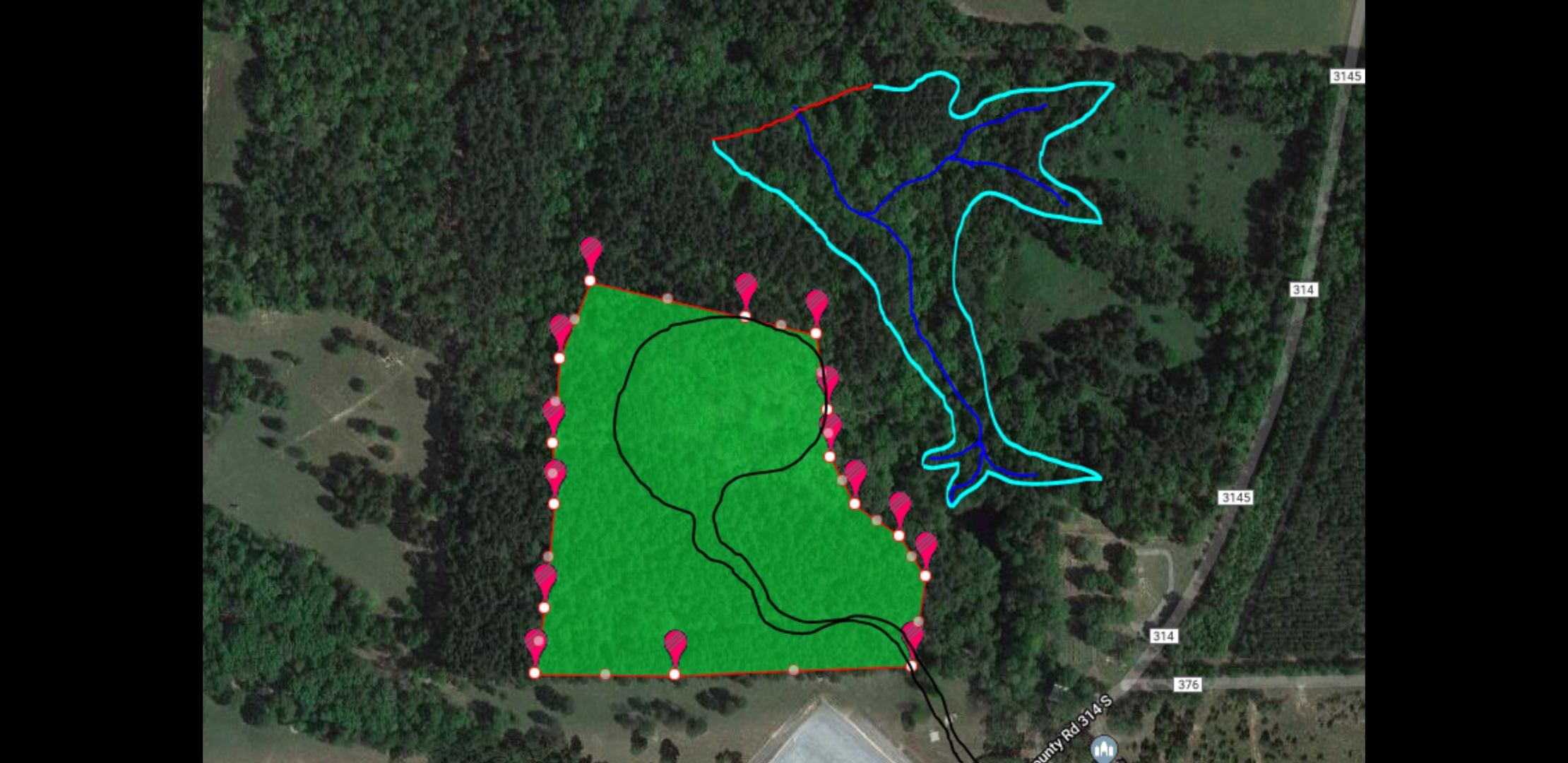
Using daftlogc, the outlined area could be close to 7 or 8 acres. Lots of trees would need to come out. It should be pretty deep in some places as well. Fingers crossed that the clay is actually the good stuff!

The creek on the maps actually starts for a natural spring that begins on my property. A .3acre pond was built in 1957 and the spillway is flowing at all times. Just past the dam, there are multiple other springs just flowing out of the hillside.
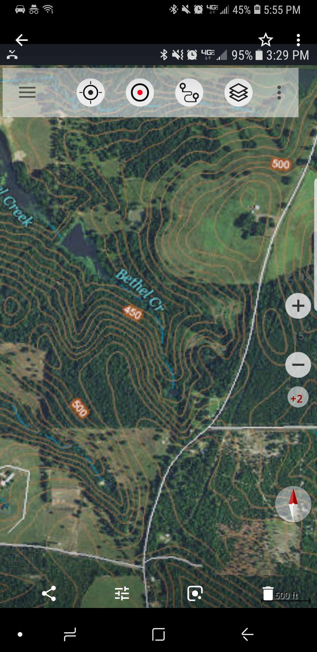
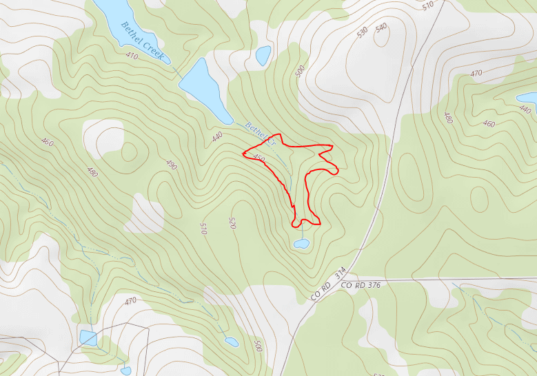
Description: Topo map
Attached picture Screenshot_20180710-175538_Photos.jpg

Description: Topo
Attached picture Capture.PNG

Description: Google earth image. Timber was thinned since this photo.
Attached picture Screenshot_20180710-193158_Gallery.jpg

Description: Top of hill, sandy and select fill . Future homesite
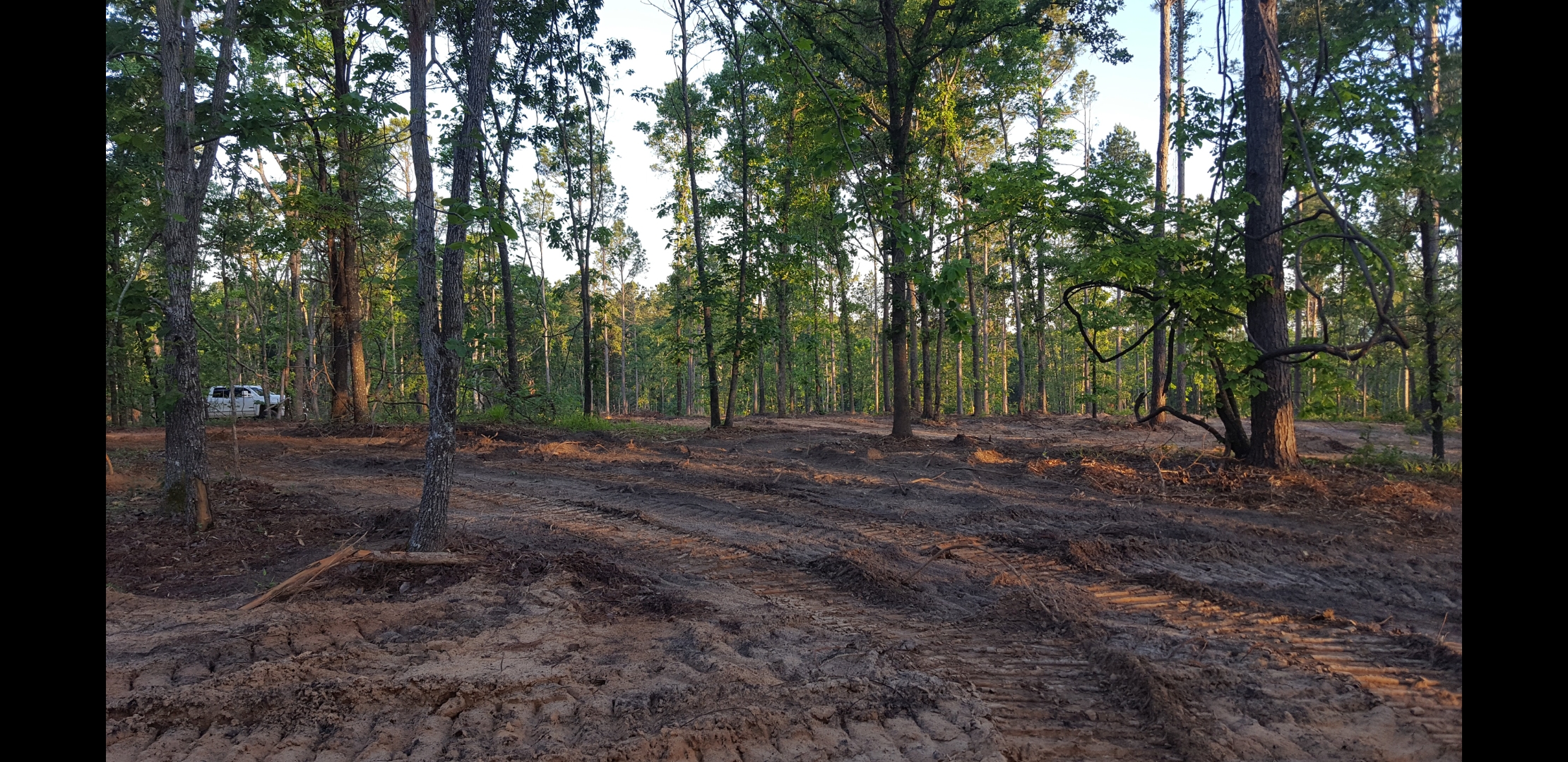
Attached picture Screenshot_20180710-193316_Gallery.jpg

Description: Existing pond where natural spring starts
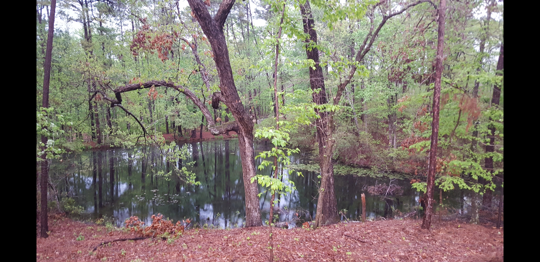
Attached picture Screenshot_20180710-193240_Gallery.jpg

Description: Creek split just below exiting pond
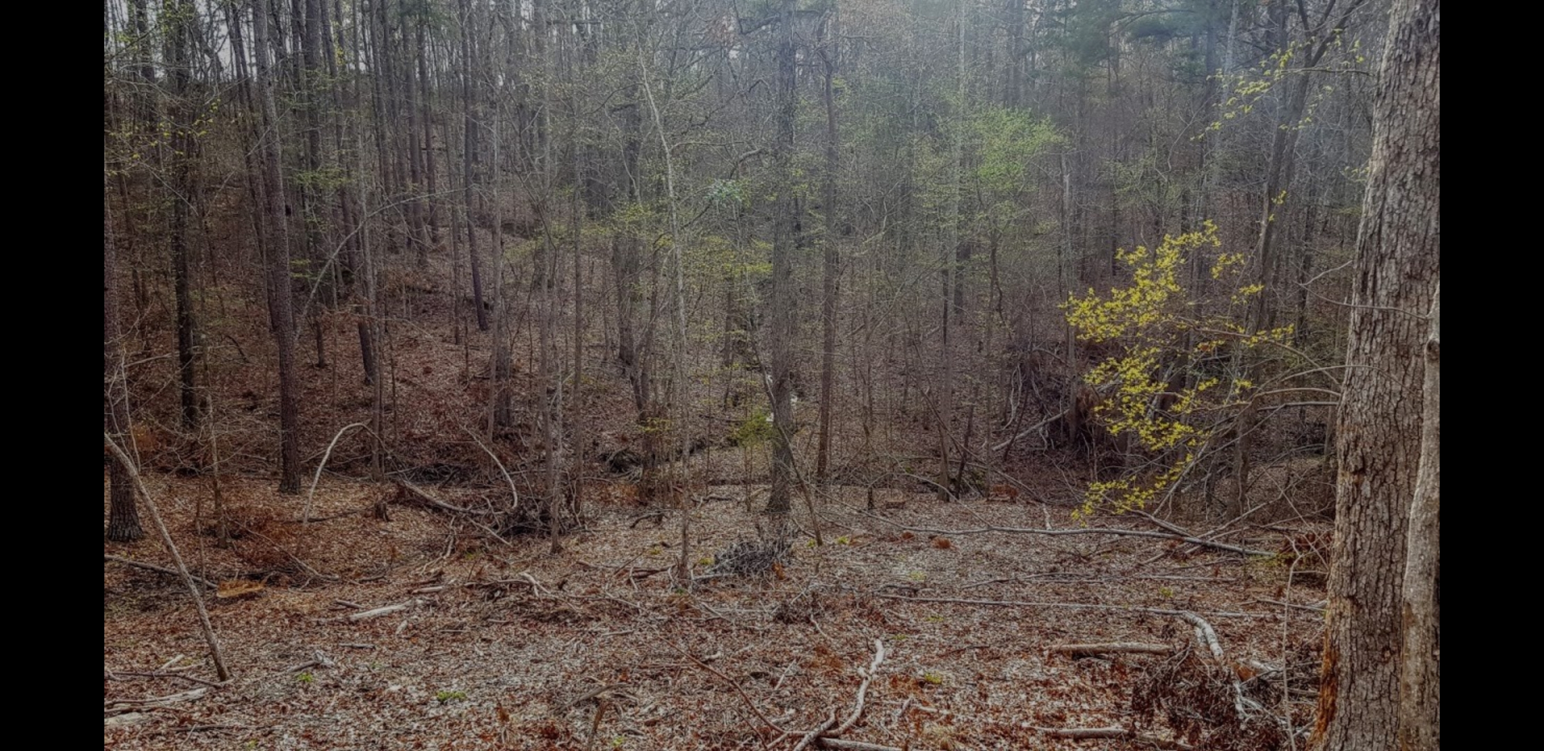
Attached picture Screenshot_20180710-193149_Gallery.jpg

Description: Looking from existing pond down into Y split .
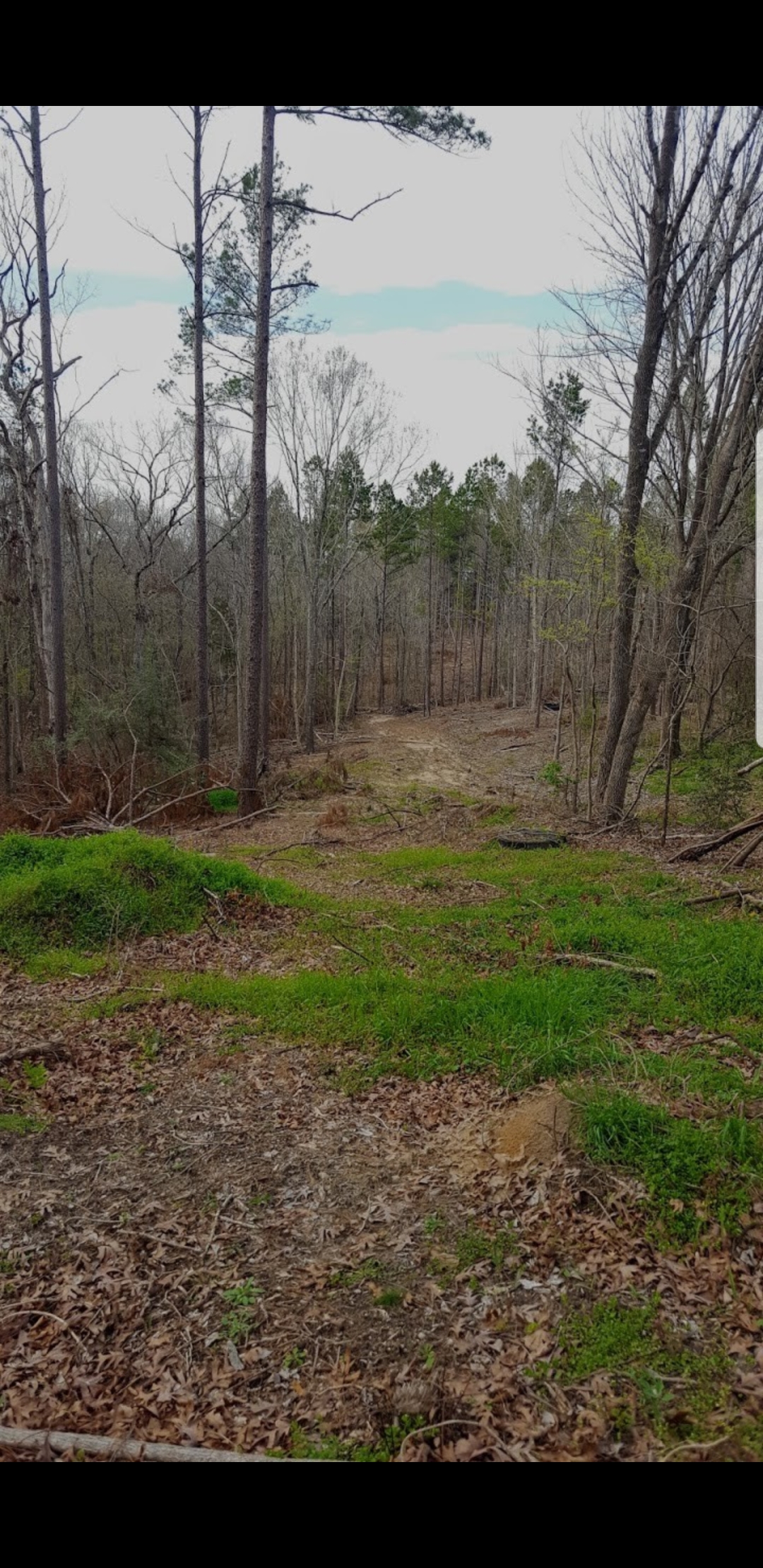
Attached picture Screenshot_20180710-193142_Gallery.jpg
Attached picture Screenshot_20180710-193131_Gallery.jpg

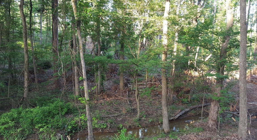
Description: Creek
Attached picture Screenshot_20180710-194047_Gallery.jpg

Description: Dig test
Attached picture Screenshot_20180710-193221_Gallery.jpg
The clay is great for a bottom. But, for a dam it needs to be mixed into loam. Bottom line is that sand won’t hold water and pure exposed clay cracks when dry. And, the top will dry out. Have it mixed and be sure to have him do a core trench, also called a key way.
Bjackson, if the creek water is still flowing now during the height of summer, that's a very good sign. I have a similar creek which keeps my BOW from dropping too low during heat & drought.
Yea, I didn't have this property in 2011drought, but apparently from listening to some neighbors, none of the ponds downstream ever dropped much. That dig test hole was dug in early may. The picture was taken 4 weeks later after no rain. I'm assuming the hole filled with water from all the springs in the hillside. Lack of water isn't going to be a problem!
Posted By: Flame Re: New site, east texas wooded creek bottom - 07/11/18 12:45 PM
Where is this Bethel Creek in east Texas? Anderson County? Near Trinity River?
Rusk County
It turns into Berryhill creek (or something close to that name) about a 1/2 mile downstream.
hows the water quality of the lower ponds now? Do they ever get muddy? Your pond is going to assume the role of collecting most of the sediment that currently flows directly to the lower ponds - keep in mind that if you want pretty clear water you'll have to address the sedimentation inflow from the springs/creeks. Removing more trees will increase the sediment if you don't provide some ground cover vegetation. Also be aware of the amount of nutrients in those lower ponds, you'll be taking on the nutrient load as well.

Before installing a dam on the main pond you can address these issues and have a great pond from the get go.
Several years ago, my neighbor built four and seven acre ponds one above the other in a ravine. The only clearing they did was about 1.5 acres or so in the end where the dam is. He let the ponds fill up and drown all the trees and brush. He didn't need to add any structure. The forest was mixed oak/hickory/elm/cedar.
Good info! Thanks guys!
Posted By: Bocomo Re: New site, east texas wooded creek bottom - 07/11/18 04:56 PM
Consider using a small sediment pond upstream of your inflow to settle out particulates. Some members here have built them to great success but obviously the location-specific details matter quite a bit. Can you find a real pond builder (not just a dirt guy) to help you?
Originally Posted By: Bajackson16
Rusk County
It turns into Berryhill creek (or something close to that name) about a 1/2 mile downstream.


I used to hunt not too far from that area, the land we were on was very dusty/sandy and the ponds on the place were always seemed to collect alot of that sediment.

Your pictures look great though, would love to see how it progresses.
Originally Posted By: Bocomo
Consider using a small sediment pond upstream of your inflow to settle out particulates. Some members here have built them to great success but obviously the location-specific details matter quite a bit. Can you find a real pond builder (not just a dirt guy) to help you?


Once I get serious, I plan on getting several quotes, including some from a "real pond builder". My money has been going to other directions this first year. (fencing, gates, cleanup, driveway, etc...)

I'm still in the brainstorming phase at this point! For now, I plan on deer hunting the creek bottom and hopeful one day to catch a bass off the same creek!
Originally Posted By: TxBrewer
Originally Posted By: Bajackson16
Rusk County
It turns into Berryhill creek (or something close to that name) about a 1/2 mile downstream.


I used to hunt not too far from that area, the land we were on was very dusty/sandy and the ponds on the place were always seemed to collect alot of that sediment.

Your pictures look great though, would love to see how it progresses.


It is really dusty/ sandy on top of the hill. Lots of sugar sand. but down by the creek and one of the hillsides, there happened to be the grey , gummy clay.
Posted By: Bocomo Re: New site, east texas wooded creek bottom - 07/11/18 06:25 PM
Originally Posted By: Bajackson16
Originally Posted By: Bocomo
Consider using a small sediment pond upstream of your inflow to settle out particulates. Some members here have built them to great success but obviously the location-specific details matter quite a bit. Can you find a real pond builder (not just a dirt guy) to help you?


Once I get serious, I plan on getting several quotes, including some from a "real pond builder". My money has been going to other directions this first year. (fencing, gates, cleanup, driveway, etc...)

I'm still in the brainstorming phase at this point! For now, I plan on deer hunting the creek bottom and hopeful one day to catch a bass off the same creek!


If you're the planning type, buy the "Perfect Pond, Want One?" book from Pond Boss. I have it and it's great info.

https://www.pondboss.com/store?c=8

"Just Add Water" is also supposed to be good but I don't have it myself.
Originally Posted By: Bajackson16
Originally Posted By: TxBrewer
Originally Posted By: Bajackson16
Rusk County
It turns into Berryhill creek (or something close to that name) about a 1/2 mile downstream.


I used to hunt not too far from that area, the land we were on was very dusty/sandy and the ponds on the place were always seemed to collect alot of that sediment.

Your pictures look great though, would love to see how it progresses.


It is really dusty/ sandy on top of the hill. Lots of sugar sand. but down by the creek and one of the hillsides, there happened to be the grey , gummy clay.


I have a red "clay" hill that turned out to be iron oxide mixed with sand. Fortunately, like you, there was clay under the creek!
Posted By: Hogfan Re: New site, east texas wooded creek bottom - 08/06/18 04:11 AM
I’m in Douglass, so pretty close to you. You won’t have to worry much about shrink/swell clay in Rusk County. We have enough East TX sand mixed in to keep it from drying out and leaving a gapping crack.

Main thing to worry about is adequate emergency spillway width, and do something to carry the spring water so it isn’t going over your emergency spillway constantly. I’m convinced that continuous low-flows over a spillway can be just as dangerous as sporadic high flows. I would advise you to install a pipe to carry the continuous low flows, and keep them off your spillway.
Its a slow process, but I've gotten a little more info on my property after the dig tests in the summer. (see photos above for dig test photos).

With all the vegetation off the trees, I had a friend with a high end drone and topo software fly over my place and put together this topo. I think once we get it staked out, it could possibly be bigger.

The software says that this layout is:
5 surface acres
74.76 acre feet
24,360,621 gallons
embankment=35,000 yards.

For you pond guys, what does all those numbers mean. The only one that makes sense to me is the 5 surface acres? How much dirt is that embankment?

Attached picture lake.PNG
Posted By: Rainman Re: New site, east texas wooded creek bottom - 03/02/19 02:00 AM
If the embankment (Dam) is 35,000 CUBIC yards, that means a LOT of $$$$$ Typical excavation can run between $40 and $200 per cubic yard depending on access and terrain...Per hour rates can run between $125 and $250 per piece of heavy equipment running, but quite a few cubic yards can be moved in an hour by a qualified and experienced operator....either way, it will not be inexpensive. Be sure to check requirements as I am pretty sure nearly 75 acre feet will fall under not only state, but also federal jurisdiction/regulations...EPA and Army Corps of Engineers (ACE). If there is a blue line creek in the USGS topo, offsetting stream remediation will almost certainly be required by the EPA....
Posted By: Brad346 Re: New site, east texas wooded creek bottom - 03/02/19 04:40 AM
That seems like a lot of dirt. What are the contour intervals? How long is it and how wide do you want the top?

Rainman, Really? $200 dollars per cubic yard of dirt? My concrete guy charges $300 a yard and that includes forming and rebar.
Posted By: Rainman Re: New site, east texas wooded creek bottom - 03/03/19 02:33 AM
Originally Posted By: Brad346
That seems like a lot of dirt. What are the contour intervals? How long is it and how wide do you want the top?

Rainman, Really? $200 dollars per cubic yard of dirt? My concrete guy charges $300 a yard and that includes forming and rebar.


There is a wide range per cubic yard...$40-$200. If all the dirt needed is in the basin with gentle slopes, you will be in the low range. If sides are steep, dirt has to be dug borrow pits, smooth and landscape the dig, and then wheelbarrow the dirt to the dam, you'll be on the high end.....
Posted By: jludwig Re: New site, east texas wooded creek bottom - 03/04/19 01:58 PM
Originally Posted By: Rainman
Per hour rates can run between $125 and $250 per piece of heavy equipment running, but quite a few cubic yards can be moved in an hour by a qualified and experienced operator....either way, it will not be inexpensive.


With hours and how it affects the value of machinery, $125/hr is too cheap. It doesn't cover the costs looking long term.
Posted By: Rainman Re: New site, east texas wooded creek bottom - 03/05/19 06:04 PM
Originally Posted By: jludwig
Originally Posted By: Rainman
Per hour rates can run between $125 and $250 per piece of heavy equipment running, but quite a few cubic yards can be moved in an hour by a qualified and experienced operator....either way, it will not be inexpensive.


With hours and how it affects the value of machinery, $125/hr is too cheap. It doesn't cover the costs looking long term.


Size and capacity of equipment is the main driving factor, along with operator experience and fuel costs, site topography, location, job duration....all sorts of variables. I can get a guy with a 735 cat loader for $125/hr...20 hour minimum
Originally Posted By: Rainman
If the embankment (Dam) is 35,000 CUBIC yards, that means a LOT of $$$$$ Typical excavation can run between $40 and $200 per cubic yard depending on access and terrain...Per hour rates can run between $125 and $250 per piece of heavy equipment running, but quite a few cubic yards can be moved in an hour by a qualified and experienced operator....either way, it will not be inexpensive. Be sure to check requirements as I am pretty sure nearly 75 acre feet will fall under not only state, but also federal jurisdiction/regulations...EPA and Army Corps of Engineers (ACE). If there is a blue line creek in the USGS topo, offsetting stream remediation will almost certainly be required by the EPA....


A couple dig tests were done last summer and I have the grey, gummy clay in the two sites that he dug right near the creek and on the sides of proposed dam site. With that amount of dirt, i'm most likely looking at having to haul some in too. I know its going to be expensive. The software used was just an rough sketch estimate. By no means was it someone who builds ponds for a living. He just started playing with the slope / elevation of the dam. Hopefully the majority of the dirt is sitting under the current creek. There is a blue line that shows up on the topo so it is a true creek. It actually begins on my property as a spring. Where it begins, there is a current .3 acre pond that was built in 1956. That's probably a good thing because its catching the initial sediment , etc.
© Pond Boss Forum