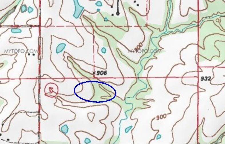
I think it looks like a classic run-off scenario to support a pond. Can you provide the topo without the blue pond? Maybe just the outline? I'd like to see the topo lines as they run thru the proposed pondsite.
Here's the outline of the approximate pond location.